Tiiips app: ingredients detective.
Free from Play Store!


Tiiips app: ingredients detective.
Free from Play Store!
|
|
|
|
|
| Donate | App | Join | Log in |
|
|
|
|
|
| Donate | App | Join | Log in |
 | "Descrizione" by Handy23 (4269 pt) | 2023-Nov-23 16:23 |
| Evaluation | N. Experts | Evaluation | N. Experts |
|---|---|---|---|
| 1 | 6 | ||
| 2 | 7 | ||
| 3 | 8 | ||
| 4 | 9 | ||
| 5 | 10 |
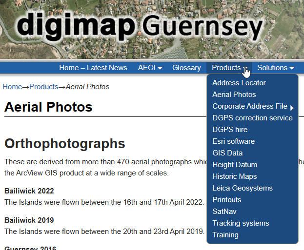
Digimap is a digital mapping and geospatial data service provided by the EDINA (Edinburgh Data and Information Access) team at the University of Edinburgh in the United Kingdom. It offers access to a wide range of geographic and cartographic data, including Ordnance Survey maps, geological maps, aerial imagery, and more. Digimap is primarily used by academic institutions, libraries, and researchers for various mapping and geospatial analysis purposes.
Geospatial Data: Digimap provides access to a vast collection of geospatial data, including topographic maps, historic maps, marine maps, geological maps, and more. Users can access and download these datasets for research, teaching, and analysis.
Ordnance Survey Maps: One of the prominent features of Digimap is its access to Ordnance Survey (OS) maps, which are detailed topographic maps of the United Kingdom. Users can view and download various scales of OS maps.
Aerial Imagery: Digimap offers access to high-resolution aerial imagery, allowing users to view and analyze the landscape from an overhead perspective.
Geospatial Tools: The platform often includes geospatial tools and functions that can assist users in performing spatial analysis, measuring distances, and creating customized maps.
Academic and Research Use: Digimap is widely used by universities and research institutions in the UK for academic and research purposes. It is particularly valuable in fields such as geography, environmental science, and urban planning.
Subscription-Based Service: Access to Digimap is typically provided through institutional subscriptions. Academic institutions and libraries can subscribe to Digimap on behalf of their users, allowing students and researchers to access its resources.
Data Download and Mapping: Users can select and download specific geographic datasets and create custom maps tailored to their research or educational needs.
User Support: Digimap offers user support, tutorials, and documentation to help users make the most of its features and datasets.
| Evaluate |